Waterfalls
Over 250 waterfalls to explore in Transylvania county. We have listed a few of the more popular waterfalls in the area but a full and more detail list can be found at www.wncwaterfalls.info
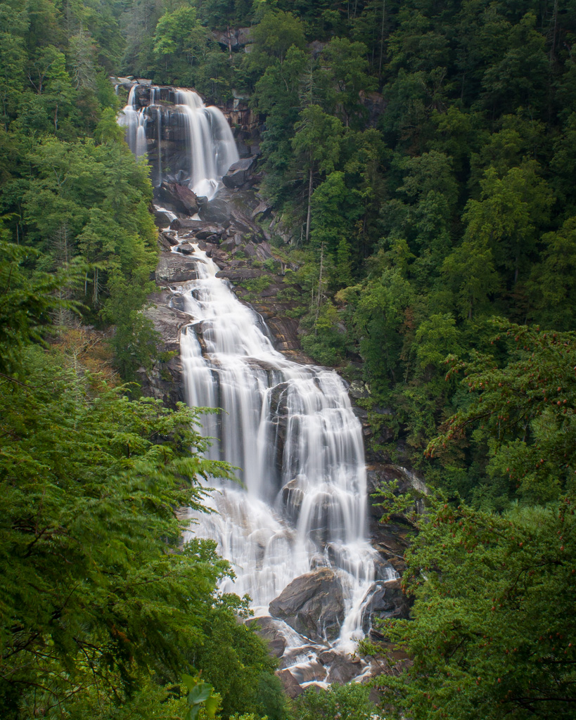
Upper Whitewater Falls
Driving Directions: From the intersection of US 276 and US 64 in downtown Brevard (corner of Main and Broad) go west on US 64 for 18.5 miles. Turn left onto NC 281 and travel south for 8.5 miles to parking area on your left. This is a fee area and handicap accessible for viewing of the falls. An easy .5 mile round trip.
Location: Sapphire, NC
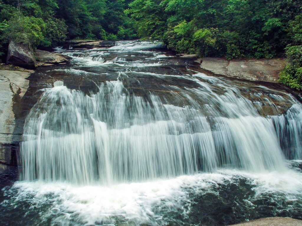
Turtleback Falls
Driving Directions: From downtown Brevard, it is just over 18 miles on US 64 West to the intersection with NC Hwy 281 South – turn left. From Highlands, it`s just over 20 miles on US 64 East, thru Cashiers, to NC 281 South – turn right. Go 0.9 miles South on NC 281 from US 64 to the park entrance road on the left. It`s a little over a mile straight on the main road to the parking area for the Rainbow Falls trail. Park there.
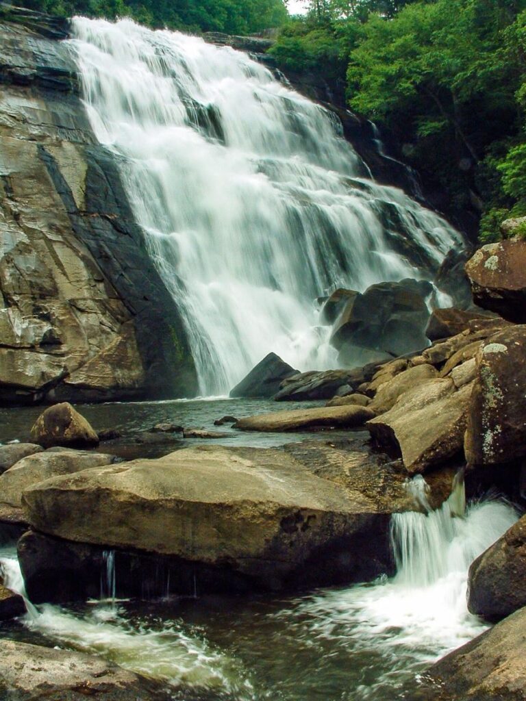
Rainbow Falls
Driving Directions: From downtown Brevard, it is just over 18 miles on US 64 West to the intersection with NC Hwy 281 South – turn left. From Highlands, it`s just over 20 miles on US 64 East, thru Cashiers, to NC 281 South – turn right. Go 0.9 miles South on NC 281 from US 64 to the park entrance road on the left. It`s a little over a mile straight on the main road to the parking area for the Rainbow Falls trail. Park there.
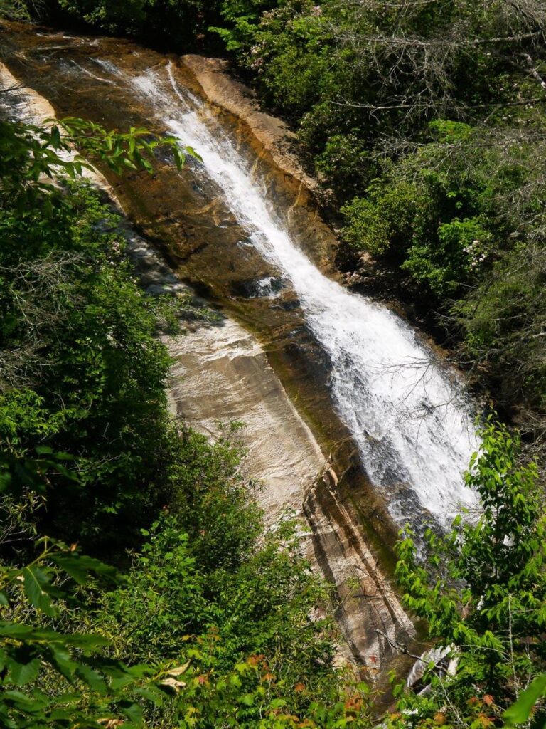
Upper Bearwallow Falls
Driving Directions: From downtown Brevard, it is just over 18 miles on US 64 West to the intersection with NC Hwy 281 South – turn left. From Highlands, it`s just over 20 miles on US 64 East, thru Cashiers, to NC 281 South – turn right. Go 0.9 miles South on NC 281 from US 64 to the park entrance road on the left. It`s less than a mile to a left turn for the loop road and picnic shelters – turn there. The picnic shelters are just ahead on the right, down the hill – park at the second picnic shelter (or the first one for a slightly longer hike).
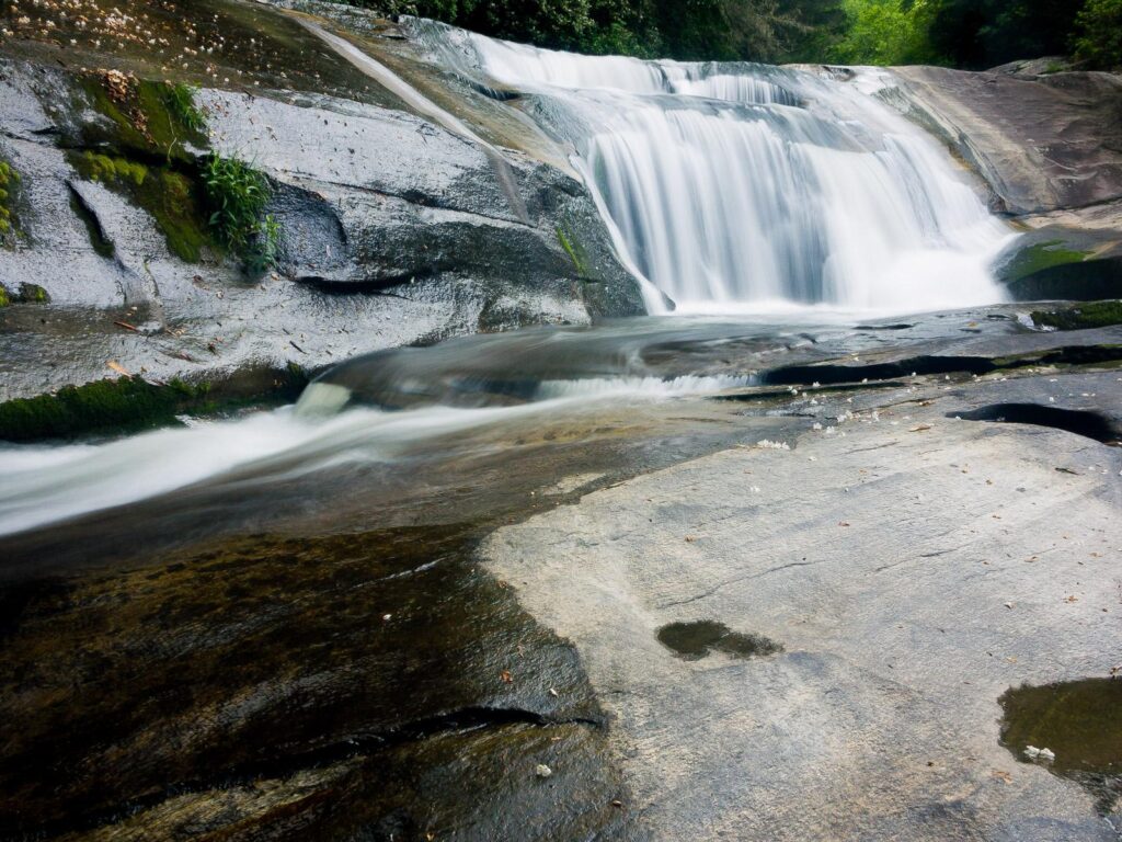
Bird Rock Falls a.k.a. Cathedral Falls
Driving Directions: From the intersection of NC Hwy. 215 and US Hwy. 64 near Rosman, follow NC 215 North about 7 1/2 miles. Look for the parking pull off on the left – it`s just past Round House Drive (private) and there are some boulders placed at the trailhead.
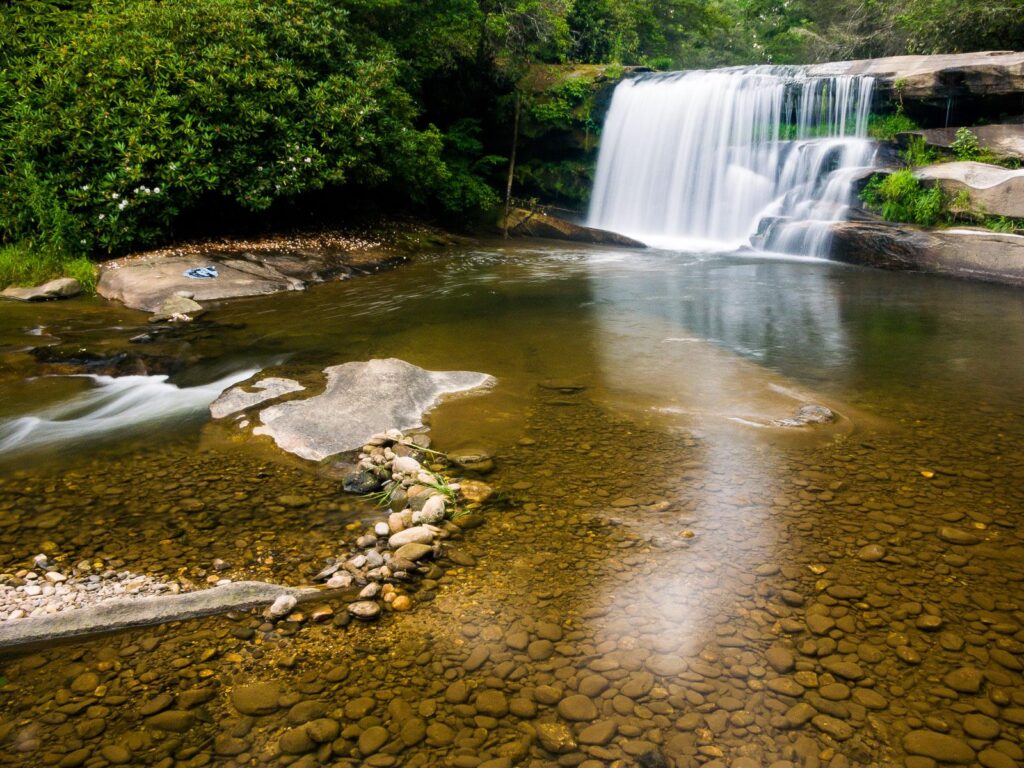
French Broad / Mill Shoals Falls
Driving Directions: From the intersection of NC Hwy. 215 and US Hwy. 64 near Rosman, follow NC 215 North about 7 1/2 miles. Look for the parking pull off on the left – it`s just past Round House Drive (private) and there are some boulders placed at the trailhead.
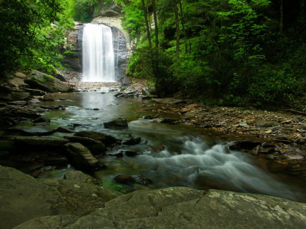
Looking Glass Falls
Driving Directions From the intersection of US Hwy. 276/64 and NC Hwy. 280 in Brevard, NC, follow US Hwy. 276 West for 5.6 miles, through the Pisgah National Forest, to the parking area on the right. There are signs to guide you along the way.
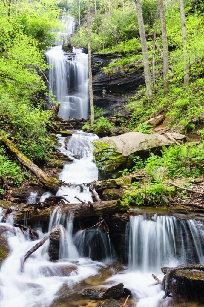
Twin Falls
Driving Directions: From the intersection of US 276, NC 280 and US 64 in Pisgah Forest, head north on US 276 for 2.2 miles. Turn right on Forest Service Road (FS) 477 and follow the gravel logging road 2.75 miles to a small parking pullout on right and Buckhorn Gap Trail. Hike Buckhorn Gap (orange Blazes) for 1.7 miles to Twin Falls Trail on left. A beautiful, moderate hike of 4.4 miles round trip.
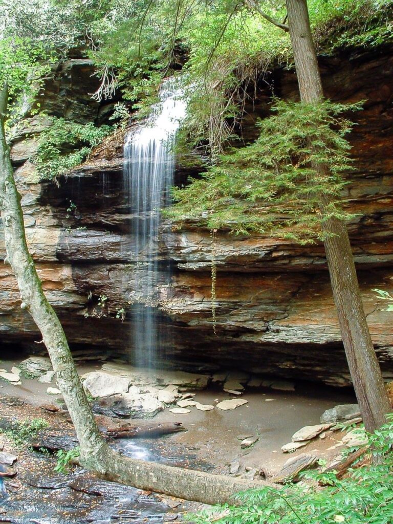
Moore Cove Falls
Driving Directions From the intersection of US Hwy 276 and 64 and NC Hwy 280 in Brevard, follow US 276 west for 6.7 miles, passing Looking Glass Falls on the right. There is a sizeable parking pull-off on the right for the Moore Cove Falls trailhead – use caution when parking and pulling out, as it`s just around a blind curve.
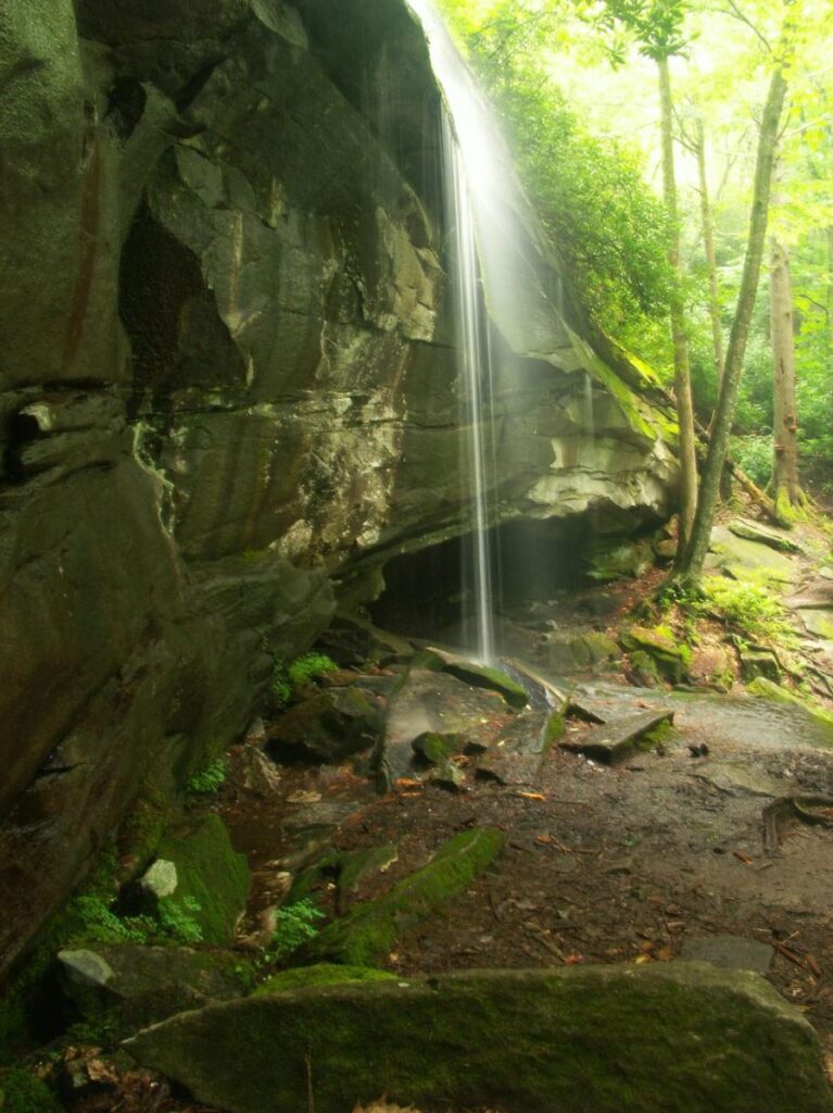
Sliding Rock Falls
Driving Directions: From the intersection of US 64, US 276, and NC 280 in Brevard, follow US 276 West for 5.2 miles and turn left on FR 475 towards the Pisgah Center for Wildlife Education and Fish Hatchery. 0.1 miles past the Fish Hatchery, bear right on FS 475B. It is just over 1 mile to a pull-off on the right with a sign board. Park here
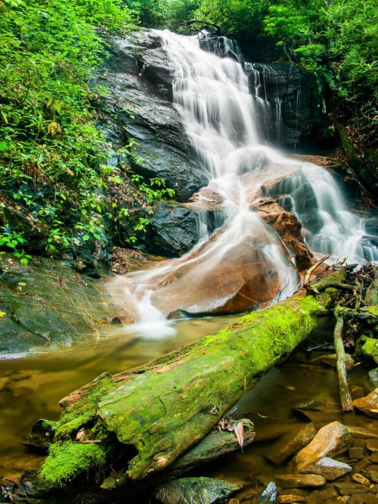
Log Hollow Falls
Driving Directions: From the intersection of NC Hwy. 280 and US Hwys. 276 and 64, follow US 276 West into the Pisgah National Forest for 10.5 miles. Turn left on FR 475B. Go just over 1 1/2 miles to a hairpin turn to the left. There is a large Forest Service interpretive sign and a gated road (FS 5043, co-designated as the Seniard Ridge trail) on the right. Park on the right without blocking the gate.
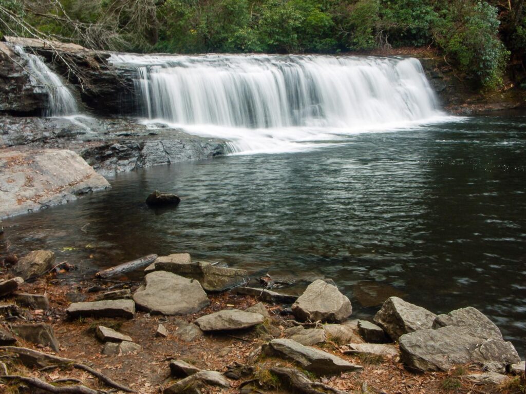
Hooker Falls
Driving Directions From the intersection of US 64/US 276/NC 280 in Brevard, NC, take US 64 East and drive 3.7 miles. Turn right on Crab Creek Road. Drive 4.3 miles and turn right on Dupont Road. Go 3.1 miles to the parking area on the right. (The road changes to Staton Road along the way. It will climb and then begin a long downhill, at the bottom of which is the bridge over the Little River. The parking area is on the right just before the bridge.)
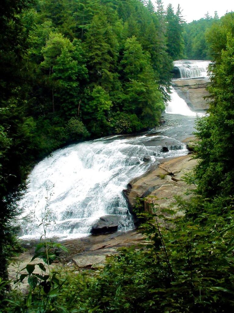
Triple Falls
Driving Directions From the intersection of US 64/US 276/NC 280 in Brevard, NC, take US 64 East and drive 3.7 miles. Turn right on Crab Creek Road. Drive 4.3 miles and turn right on Dupont Road. Go 3.1 miles to the parking area on the right. (The road changes to Staton Road along the way. It will climb and then begin a long downhill, at the bottom of which is the bridge over the Little River. The parking area is on the right just before the bridge.)
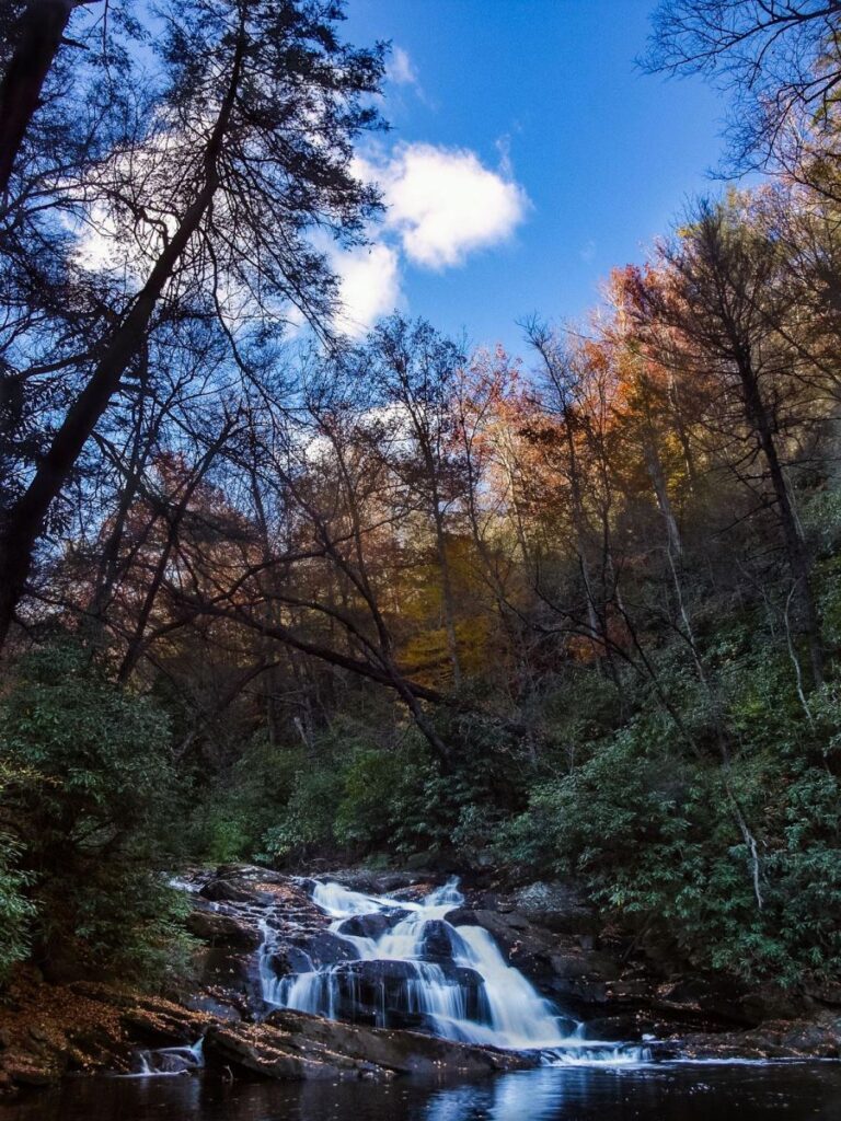
High Falls
Driving Directions From the intersection of US Hwy. 64 & 276 & NC Hwy. 280 in Brevard, NC, go north on 276 towards the Blue Ridge Parkway past the Forest Discovery Center and the Pink Beds Picnic Area. Turn right on gravel Yellow Gap Road (FS 1206). Go about 3.3 miles and turn right onto Wolf Ford Road (FS 476, it may or may not be signed based on past experience). Go to the end at 1.3 miles, where there is a gate and a parking area.
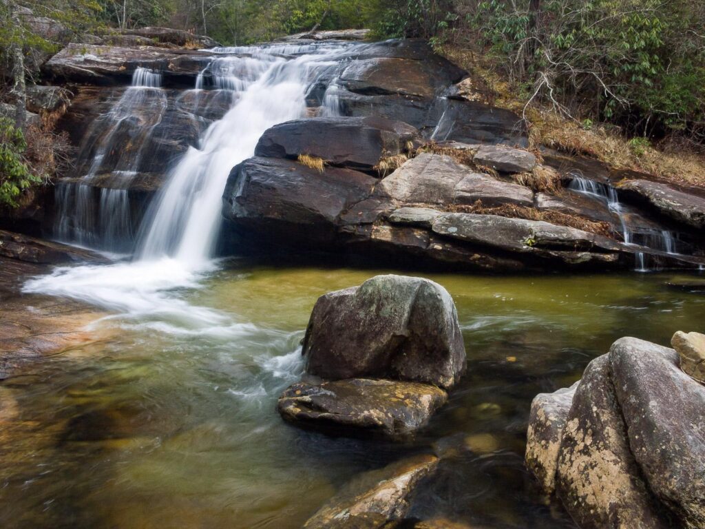
Wintergreen Falls
Driving Directions From the intersection of US 64/US 276/NC 280 in Brevard, NC, take US 64 East and drive 3.7 miles. Turn right on Crab Creek Road. Drive 4.3 miles and turn right on Dupont Road. Go 0.7 miles and turn left onto Sky Valley Road. The parking area at the old Guion Farm (now part of the State Park) is on the right 1.4 miles ahead.
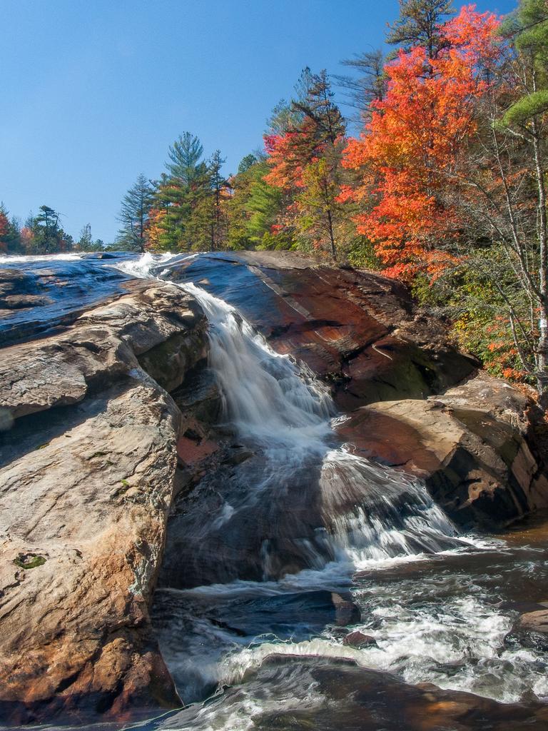
Bridal Veil Falls
Driving Directions Bridal Veil Falls is close to the center of Dupont State Forest. You can get there from a couple of parking areas, but the quickest way is to park at the High Falls (formerly called Buck Forest) parking area. From Asheville, take I-26 east to Exit 40, and take NC-280 toward Pisgah Forest. At the NC 280/US 276/US 64 junction, turn left (east) on US-64 and go 3.7 miles to the Texaco station in Penrose. Turn right on Crab Creek Rd. Go 4.3 miles and turn right on DuPont Rd. Go just over 4 miles to the parking area on the left. (Dupont Road will climb a hill and change names to Staton Road, then begin a long downhill, at the bottom of which is the bridge over the Little River and the Hooker Falls parking area. Keep going – the High Falls parking area is just past this on the left).
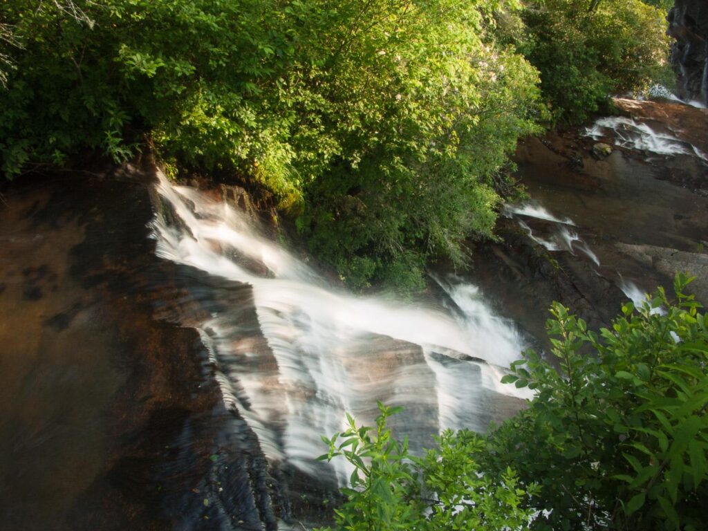
Connestee Falls / Batson Creek Falls
Driving Directions: From the intersection of U.S. Hwys. 276 & 64 in downtown Brevard, take 276 south for 5.8 miles to Connestee Falls Park. The parking area is well signed and on the right. There are a couple of picnic tables here as well.
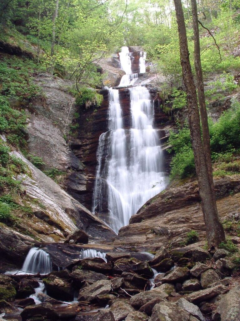
Daniel Ridge Falls a.k.a. Tom Spring Falls & Jackson Falls)
Driving Directions From the intersection of US 70 and US 221 North in Marion, NC, drive about 5 1/2 miles North on US 221. Turn left on Huskins Branch Road, just before the old Woodlawn Motel. The road climbs and turns gravel, then paved again. At 1.2 miles from the start, park in the gravel lot on the right.

